December 29, 2021
PETALING JAYA: On high alert for potential disasters such as landslides and floods with the ongoing northeast monsoon season, the Public Works Department (JKR) and the Mineral and Geoscience Department (JMG) are stepping up precautionary measures to ensure public safety.
JKR director-general Datuk Mohamad Zulkefly Sulaiman said the department was committed to safeguarding all road users and had taken steps to ensure all roads and access were safe, with precautionary steps such as warning signs and traffic management plans also in place.
“JKR has also identified all roads with a high risk of flooding that can cause failure, especially on road structures, by maintaining, cleaning and repairing drainage systems from clogging and debris that can obstruct the flow of water in order to be ready throughout the monsoon season,” he said in a recent statement.
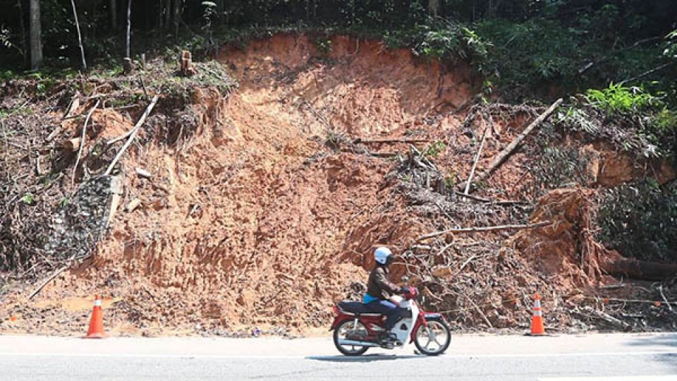
As of 10am yesterday, JKR has detected a total of 75 locations across the country that have been hit by related natural disasters, including multiple landslides.
There are 24 locations affected by floods, 39 locations with landslides, 10 locations with collapsed roads, one location with a sunken road and one location affected by a sunken or broken bridge.
“These involve six states, namely Kelantan, Pahang, Kedah, Negri Sembilan, Selangor and Terengganu. A total of 24 federal and 50 state roads have also been affected,” JKR said in a statement yesterday.“District JKR officers are also on 24-hour standby and ready to mobilise in case another flood or disaster happens,” Mohamad Zulkefly said, adding that through district JKR offices, the department had identified and increased the frequency of inspections and patrolling of slopes and roads during this monsoon season, especially in dangerous and high-risk slope areas.
“Monitoring will be done through visual methods such as conducting more inspections on the condition of structures and components of slopes and roads.
“Identification of all the slope locations based on the ‘danger and risk maps’ that need to be strengthened is also actively ongoing on-site,” he added.
He said JKR was also monitoring rainfall with the installation of rain gauge stations, as well as early warning monitoring equipment, that can detect the movement of slope surfaces at critical locations, so that an early warning of possible landslides could be issued.
“JKR is also one of the members of the national disaster management committee where we will work closely with the National Disaster Management Agency (Nadma) and government agencies such as the Irrigation and Drainage Department, the Malaysian Meteorology Department and others in channelling all the information regarding road infrastructure conditions at a national level via Nadma.
“The dissemination of information on disaster events is made to ensure updates can be widely communicated to the public,” said Mohamad Zukefly.
JMG recently released a list of contact numbers of the persons-in-charge (PICs) who can receive reports from the public on landslides – a total of 20 PICs for the 13 states and the Federal Territories.
“The role of each PIC is as a recipient of information in the event of any geological disaster of landslides.
“Upon receiving information, further action will be taken by JMG by assessing the level of disaster and the need to mobilise a geological disaster action working group,” said the PIC for Kedah, Perlis and Penang when contacted.
The PIC contact list can be found on JMG’s social media platforms such as Facebook and Twitter, and its website.
“Besides releasing the list of PICs, the department is also issuing posters of early warning signs of a landslide and monitoring critical slope locations at risk of landslides in each state,” said the PIC.
After monitoring critical slope locations throughout the year, JMG has identified a total of 122 high-risk critical slopes with a potential for landslides.
According to the JMG’s location map of critical slope locations, Perak has the highest number of high-risk slopes at 18, followed by Selangor at 15 and 12 each for Negri Sembilan, Sabah and Sarawak.
There are also 11 critical slope locations in Penang, 10 each in Johor and Kelantan, seven in Terengganu, six each in Kedah and Pahang, two in Melaka and one in Perlis.
The location map and name list of critical slope locations, which were published by JMG on Dec 19, can be found on the department’s Twitter account.

