September 27, 2024
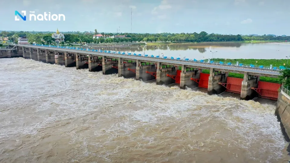
BANGKOK – Eleven provinces in the Chao Phraya Basin, including metropolitan Bangkok, have been warned to prepare for possible flooding as the Chao Phraya Dam in Chai Nat province will increase its rate of water discharge.
The areas to be affected are communities located outside the flood levees along the banks of the Chao Phraya River in Uthai Thani, Chai Nat, Sing Buri, Ang Thong, Ayutthaya, Suphanburi, Lopburi, Pathum Thani, Nonthaburi, Samut Prakan, and Bangkok provinces.
The Royal Irrigation Department said on Thursday that it would gradually increase the dam’s water discharge rate from the current 1,498 cubic metres per second due to continued heavy rains and runoffs from the North.
The department said the adjustments would be made in steps but would be capped at 2,000 cubic metres per second. This will raise the water levels in Phong Pheng Canal in Ang Thong province, as well as the Bang Ban Canal and the Noi River in Ayutthaya province, by 1-1.5 metres.
The rising waters could also cause overflows of canals and rivers branching out from these waterways, it added.
The department reported that at 7am on Thursday, the water level at the C2 station in Muang district of Nakhon Sawan province rose 21 centimetres from yesterday, but was still 3.29 metres below the bank. The flow rate at this station is 1,846 cubic metres per second.
At the C3 station, or Chao Phraya Dam, in Chai Nat province, the water level rose slightly from yesterday but was still 3.52 metres below the bank. The flow rate at this station is 1,498 cubic metres per second.


