
April 13, 2022
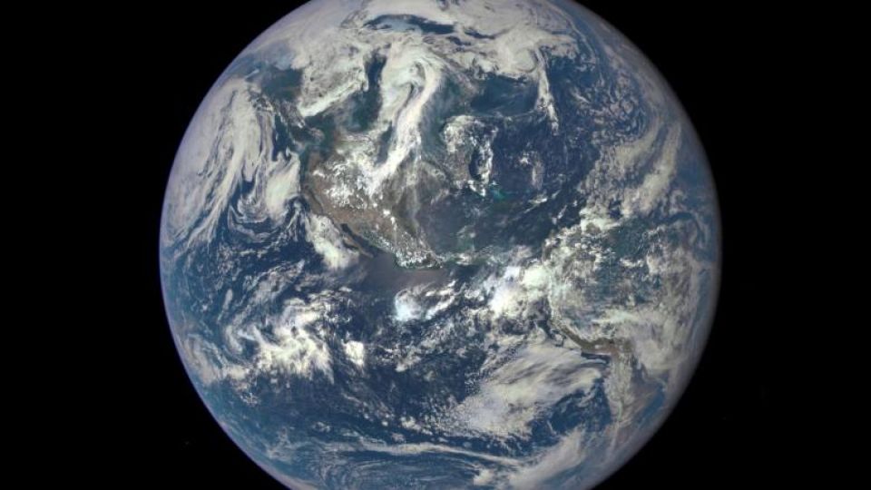
LONDON – The European Union is designing a so-called digital twin of the Earth which will allow scientists to run simulations and anticipate extreme weather events and other impacts of climate change.
The program, called Destination Earth, will use artificial intelligence and supercomputing to input and analyze climate data at high resolutions, in order to predict a number of hazards including storms, droughts, and rising sea levels.
The European Commission is overseeing the project, in partnership with the European Center for Medium-Range Weather Forecasts, or the ECMWF, the European Space Agency, or ESA, and the European Organization for the Exploitation of Meteorological Satellites, or Eumetsat.
Thomas Skordas, who is the European Commission’s director for digital excellence and science infrastructure, said that efforts to understand how the climate works must evolve rapidly over the coming decades, in order to prevent and tackle the increasing impacts of global warming.
The most recent report from the Intergovernmental Panel on Climate Change, or IPCC, found that the world must peak emissions by 2025 in order to achieve the Paris Agreement goal of limiting warming to between 2 and 1.5 C this century.
“Destination Earth is a key initiative for Europe’s twin digital and green transitions,” Skordas said. “It will greatly enhance our ability to produce climate models with unprecedented detail and reliability, allowing policymakers to anticipate and mitigate the effects of climate change, saving lives and alleviating economic consequences in cases of natural disasters.”
The program will allow scientists to create a simulation of the planet and its climate, and then experiment with changes to single data points, such as temperature, wind speeds, and humidity, and then observe the knock-on effects on a regional and global level.
Destination Earth will also help monitor food security, changes in the polar regions and global sea level rises.
Several climate simulation programs already exist, and these generally run at resolutions of around 100 kilometers, so predicting more localized impacts of climate change is challenging. The Destination Earth team plans on building a supercomputing network that would allow for far higher resolution, approaching just a few kilometers.
“In the last few years, ECMWF has been building community efforts to combine computational science and Earth system modeling,” said ECMWF Director-General Florence Rabier. “One of the major contributions of Destination Earth will be to bring another dimension to these efforts by providing a breakthrough in capabilities and interactivity.”
The program will also allow companies and governments to assess the best areas for new renewable energy infrastructure, such as wind and solar farms.
The European Commission hopes to develop the core service platform for Destination Earth, including the first two digital twins focused on extreme natural events and climate change adaptation, over the next two years, with an initial investment of 150 million euros ($163.2 million).
Several more digital twins will be developed over the following years, leading to a fully integrated digital replica of the Earth by 2030.