September 5, 2025
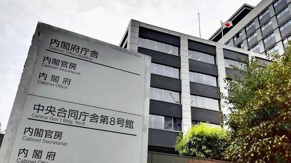
TOKYO – The Cabinet Office plans to start development of a system using satellites and drones to capture images of damage caused by disasters, enabling a comprehensive assessment of the situation and sharing the data with relevant local governments. A fiscal 2026 budget request of ¥120 million has been made for the plan, dubbed the “bird’s eye project.”
When flooding, tsunami and other disasters occur, the government and private companies capture images of the damage to aid disaster response efforts. Currently, there is no unified mechanism for sharing the data with affected municipalities. The government aims to update its current system to allow this data to be shared to facilitate disaster response efforts such as locating victims and those requiring aid.
Starting in fiscal 2026, the government will begin drafting guidelines for the provision and utilization of the imagery. It plans to utilize this system in conjunction with the “disaster prevention digital platform” to facilitate information sharing between the national government and local municipalities during disasters.

