
July 7, 2022
BEIJING – The satellite Jilin-1 recently sent back a series of images from space showing of lakes in various Chinese deserts.

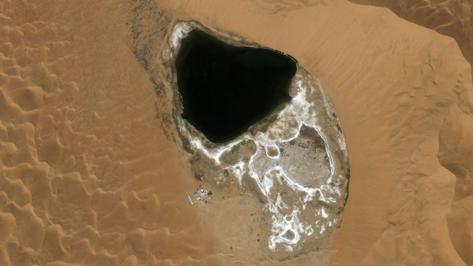
A photo taken by the Jilin-1 satellite shows a lake in the Badain Jaran Desert of Alshaa League of the Inner Mongolia autonomous region. [Photo by Changguang Satellite Technology/For chinadaily.com.cn]

A photo taken by the Jilin-1 satellite shows a lake in the Badain Jaran Desert of Alshaa League of the Inner Mongolia autonomous region. [Photo by Changguang Satellite Technology/For chinadaily.com.cn]

A photo taken by the Jilin-1 satellite shows a lake in the Tengger Desert in Alshaa League of the Inner Mongolia autonomous region. [Photo by Changguang Satellite Technology/For chinadaily.com.cn]

A photo from the Jilin-1 satellite shows a small lake on the edge of the city in the Mingsha Mountain in Dunhuang, Gansu province. [Photo by Changguang Satellite Technology/For chinadaily.com.cn]

A photo from the Jilin-1 satellite shows a lake in the Jinta Desert in Jinta county, Gansu province. [Photo by Changguang Satellite Technology/For chinadaily.com.cn]