October 14, 2022
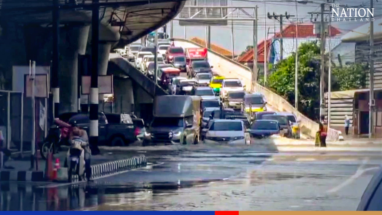
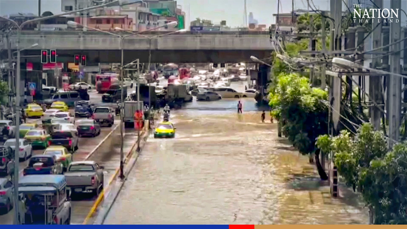
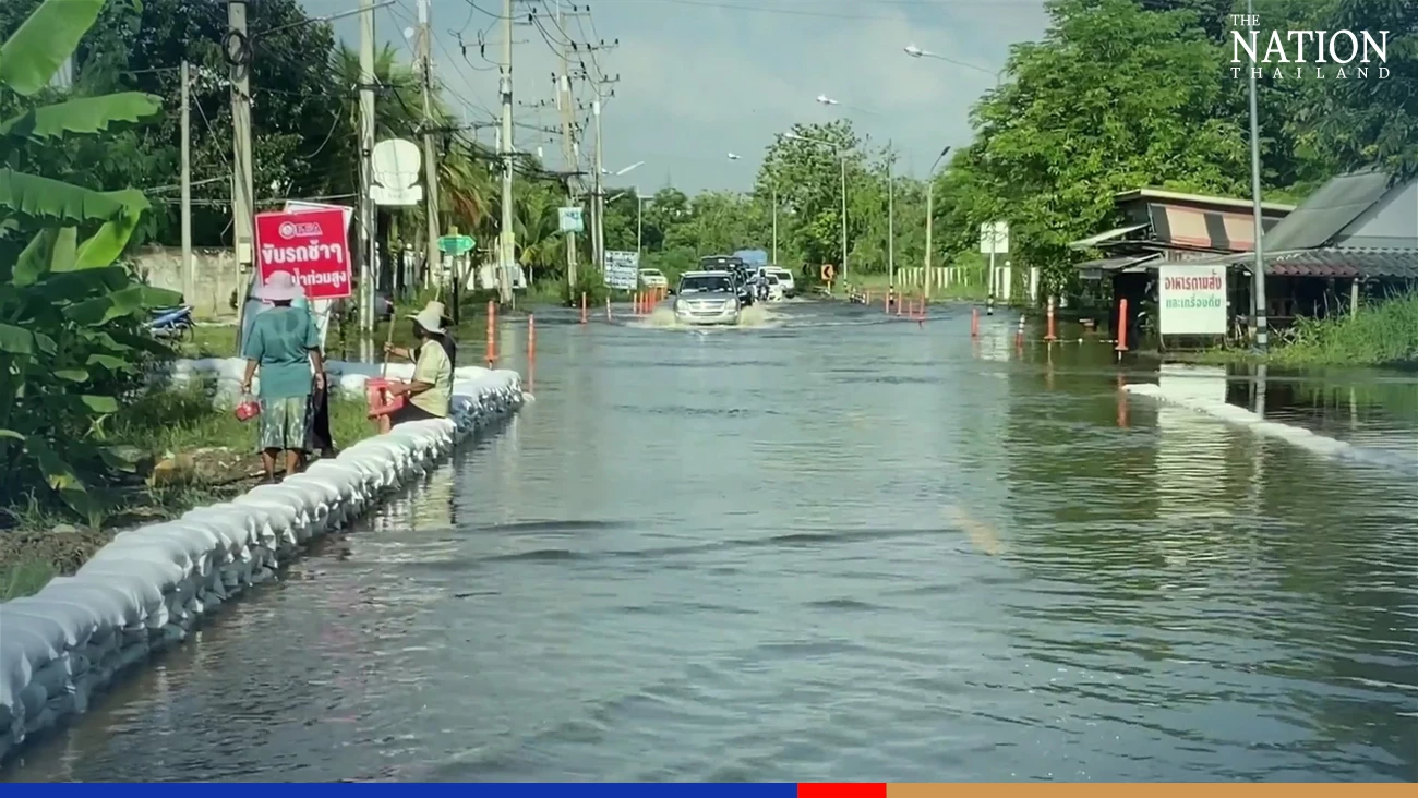
BANGKOK – An overflowing Chao Phraya River inundated sections of Rama V, Phibul Songkhram and Nakhon-In roads in Nonthaburi’s Muang district, with floodwaters 50-70 centimetres high. Small vehicles were advised to avoid the areas.
Traffic congestion formed before noon on Thursday as vehicles were forced to move slowly on the flooded roads.
Nonthaburi police decided to close the Rama V intersection to traffic due to heavy flooding.

Large volumes of water have been released from the Pasak Jolasid Dam in Lop Buri province upstream. Meanwhile, Nonthaburi was affected by rising sea tides on Thursday, when the maximum water level at Nonthaburi Pier was expected to reach 2.88 metres.
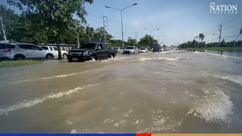
Its neighbouring province, Nakhon Pathom, was also flooded on Thursday, particularly in areas along the Tha Chin River.
A one-kilometre-long section of Salaya-Nakhon Chaisi Road was under 30-40cm of floodwater, making it difficult for small vehicles to pass.
A local resident who identified herself as “Thanpitcha” said that she had to wade through chest-deep floodwater for one km from her home to buy food after her housing estate had been flooded for many days.
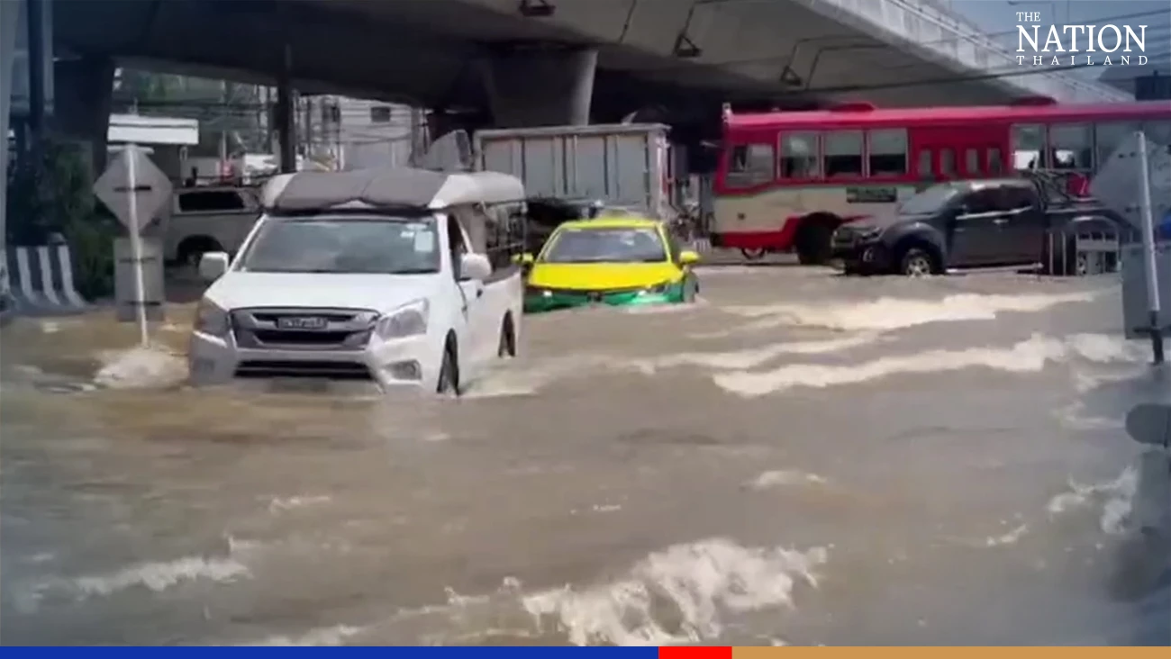
A 2km-long section of Boromratchonni Road in Samphran district was heavily flooded on Thursday due to overflows from Tha Chin River caused by rising sea tides. Many cars broke down when passing a road section under 50-70cm of water.
Highway Police temporarily closed a 1km-long section of Buddha Monthon Sai 7 Road, causing severe congestion in the nearby Boromratchonni Road.