New Delhi responds to uproar in Nepal over new political map, says it is “accurate”

Raveesh Kumar, spokesperson for India’s Ministry of External Affairs, says the map has not revised the boundary and that it accurately depicts India’s sovereign territory. New Delhi on Thursday said the new Indian political map “accurately depicts the sovereign territory of India”. India’s new political map—released earlier this week after India formally split up the […]

000_E692C.jpg

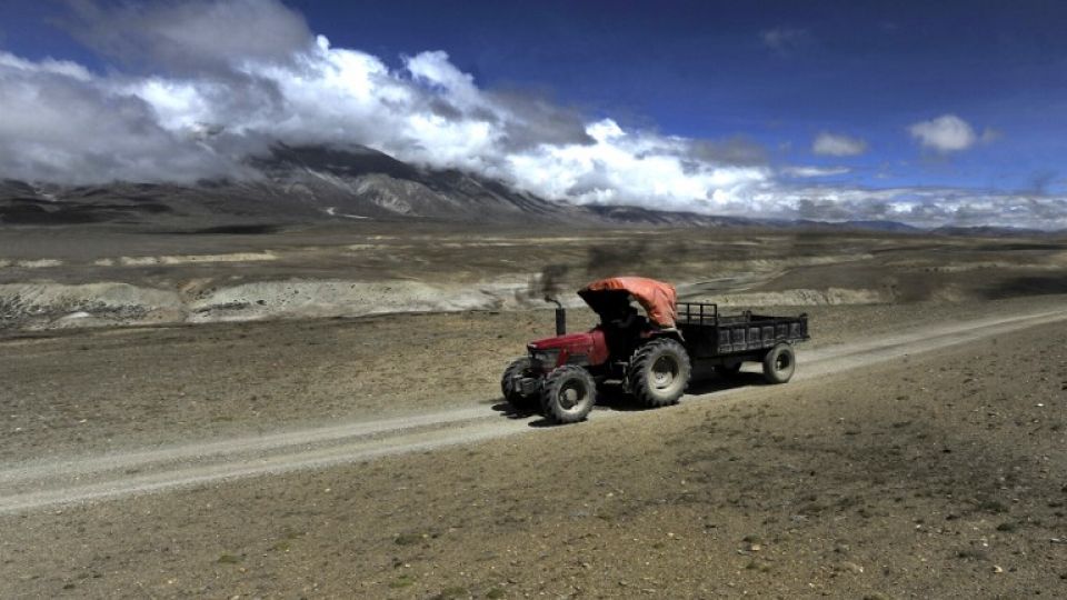
This picture taken on June 17, 2016 shows tractor driving along a dirt track in Korala, Nepal-China border in Upper Mustang. A biannual trade fair in Tibet offers a rare opportunity for those living in the remote former Buddhist kingdom of Upper Mustang in Nepal to cross the usually closed border into China, which is cultivating closer ties with the Himalayan nation. / AFP PHOTO / PRAKASH MATHEMA / TO GO WITH AFP STORY: "Nepal-China-Tibet-Religion-Border" FEATURE by Ammu Kannampilly

November 8, 2019

Raveesh Kumar, spokesperson for India’s Ministry of External Affairs, says the map has not revised the boundary and that it accurately depicts India’s sovereign territory.

New Delhi on Thursday said the new Indian political map “accurately depicts the sovereign territory of India”.

India’s new political map—released earlier this week after India formally split up the disputed Jammu and Kashmir state into two federal territories—has created quite an uproar in Nepal, as it has placed the territory of Kalapani within Indian borders.

After the Post first reported the story on Monday, the Ministry of Foreign Affairs, in a statement said on Wednesday, that “Nepal is clear about Kalapani being a part of Nepal’s territory” and that “any unilateral decision regarding outstanding issues that need to be sorted out through mutual agreement will not be acceptable to the Nepal government.”

The statement, however, referred to media reports while making its position clear on the Kalapani issue, rather than the actual map.

[Read: India’s new political map places disputed territory of Kalapani inside its own borders]At a regular press briefing in New Delhi, Raveesh Kumar, spokesperson for India’s Ministry of External Affairs, said, “The new map has in no manner revised our boundary with Nepal. The boundary delineation exercise with Nepal is ongoing under the existing mechanism.”

Kumar was referring to the foreign secretary-level mechanism between the two countries that is working on hashing out differences over the boundary. The third meeting of the Nepal-India Joint Commission at the foreign minister-level in 2014 had agreed to form a joint panel at the foreign secretary-level to resolve boundary disputes between Nepal and India in Susta and Kalapani. Progress, however, has been slow and there was nothing substantial at the last joint commission meeting held in Kathmandu in August.

“We reiterate our commitment to find a solution through dialogue in the spirit of our close and friendly bilateral relations,” said Kumar. At the same time, both countries should guard against vested interests trying to create differences between our two countries.”

Political parties in Nepal have also objected to India’s new political map, with their student wings launching protests, saying the map has wrongly placed Nepal’s Kalapani, Lipu Lekh and Limpiyadhura inside Indian borders.

On Wednesday, the All Nepal National Free Students Union, the student wing of the ruling Nepal Communist Party, staged protests in Kathmandu. On Thursday, the Nepal Students’ Union, the sister wing of the primary opposition Nepali Congress, also staged a protest in front of the Embassy of India in Kathmandu.

Leave a Reply

Your email address will not be published. Required fields are marked *

scroll to top